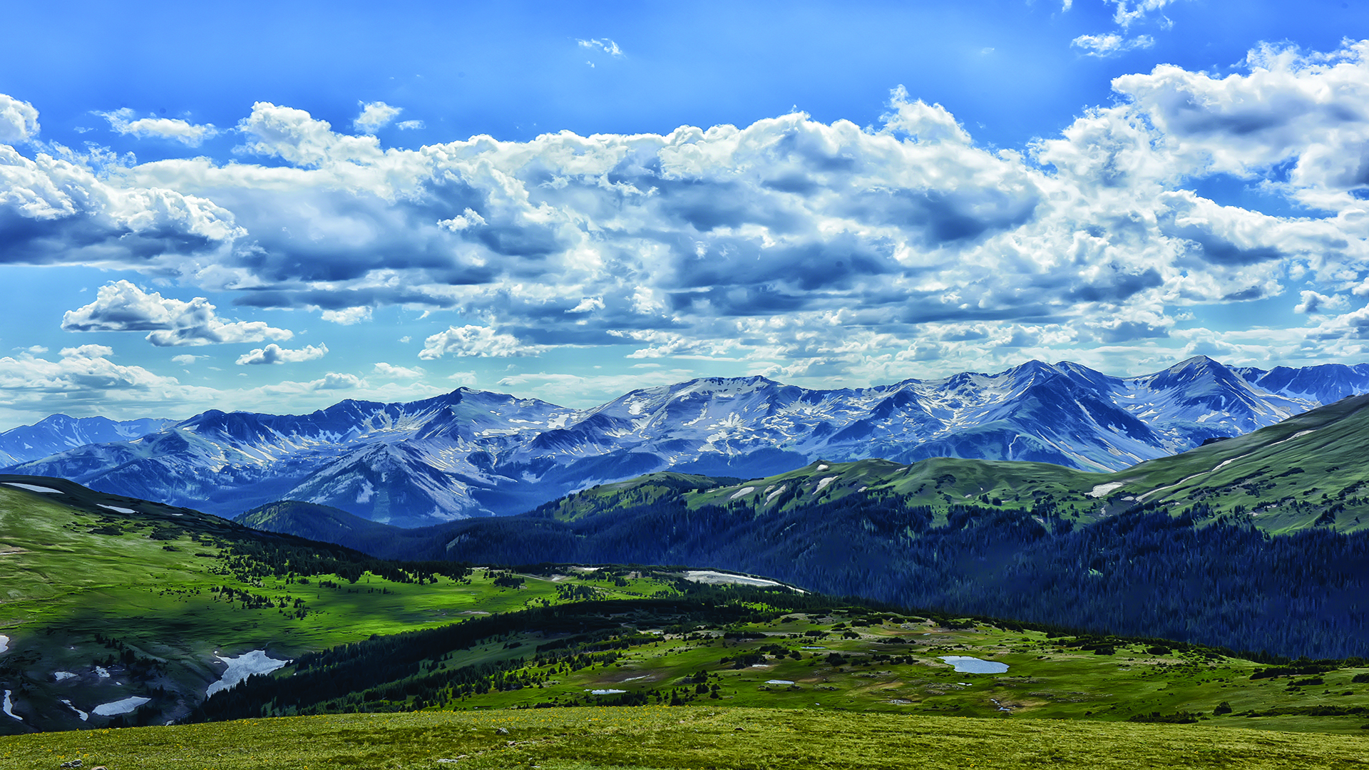
TAKING THE HIGHEST ROAD You come to a place of exalted vision. To be surrounded by the titanic heights of the Rocky Mountains and all their purple mountain majesty is to be humbled by the grandeur and magnitude of American beauty.

More than 100 peaks exceed 11,000 feet. On each side of the mighty Continental Divide, rivers flow forth and search out the shining seas of both the Atlantic and the Pacific. And as your RV winds its way from pass to pass—with all the earth below—you cannot escape the feeling that you’re on the very doorstep of the skies.

Scramble Up to a Beautiful Chasm
An unforgettable finish to an unforgettable hike that’s worth every ounce of sweat. It’s popular so start early and follow the East Longs Peak Trail for 3.2 miles. Then veer left onto Chasm Lake
Trail. Scrambling over rocks, follow the rock cairns to reach Chasm Lake—ironically above you.
Nearest Parking Lot Coordinate
40° 16’ 20” N,
105° 33’ 24” W

A Majestic Moment at Spraque Lake
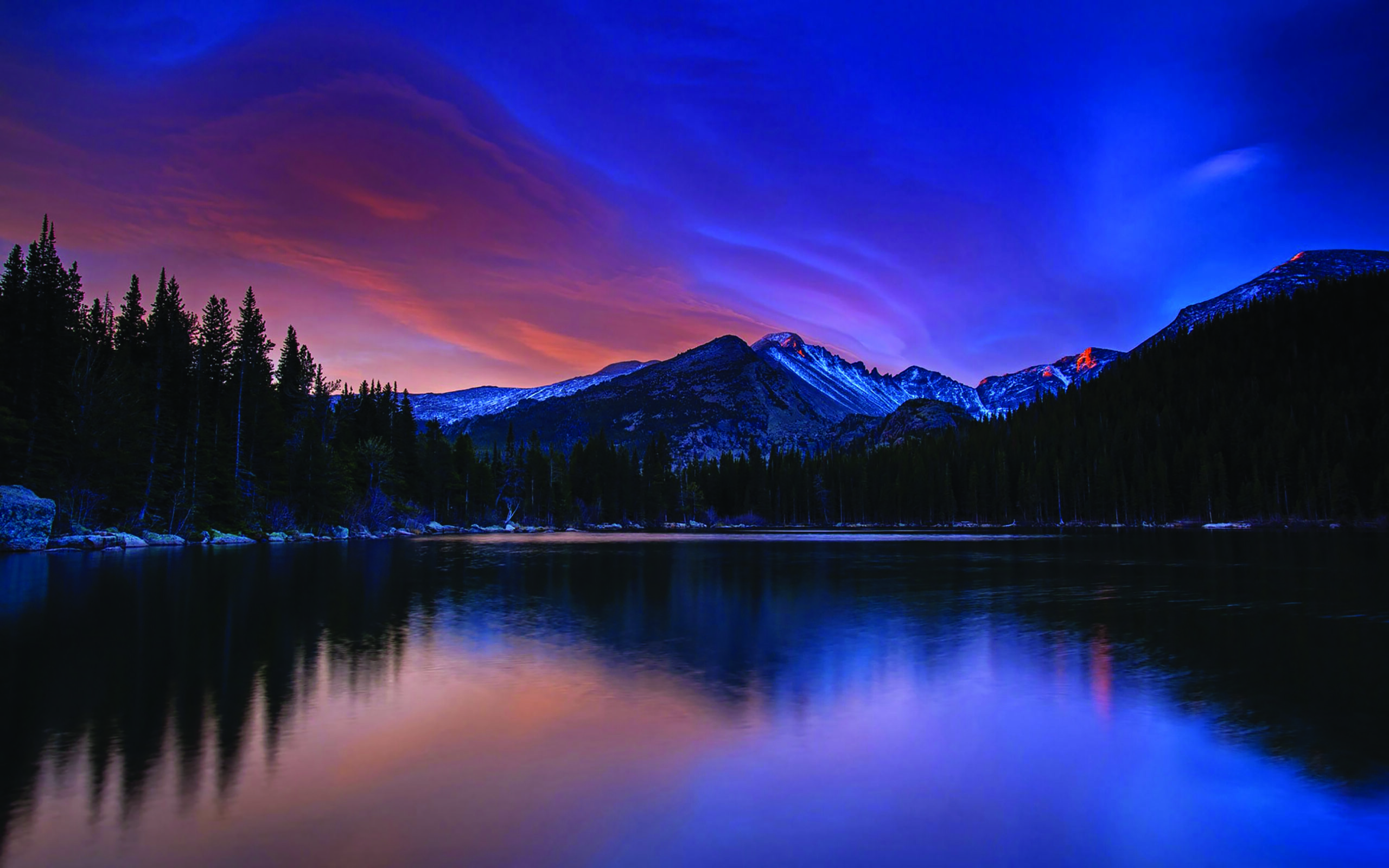
Don’t be fooled: Not every view in the Rockies is earned with blood, sweat, and tears. Spraque Lake’s circular track is flat (wheelchair accessible), family-friendly (less than a mile long), and full of fantastic views (with benches to enjoy them)—all mirrored across the peaceful surface of this alpine lake.
Nearest Parking Lot Coordinate
40° 19’ 15” N
105° 36’ 28” W

Chasing Tyndall Creek’s Rocky Tail
Emerald Lake
The trail takes you on a tour of four lakes—Bear, Nymph, Dream, and Emerald—as you trace the westbound progress of Tyndall Creek. At two points, just before you reach Dream Lake, the creek crosses the trail itself. All along the way, the creek cascades over rock until it climatically tumbles into the waters of Emerald Lake.
Nearest Parking Lot Coordinate
40° 18’ 43” N
105° 38’ 43” W

FIND YOUR NEXT STOP
Stephanie and Jeremy Puglisi of The RV Atlas just published Where Should We Camp Next? (And it’s already the #1 New Release in the camping category on Amazon.)

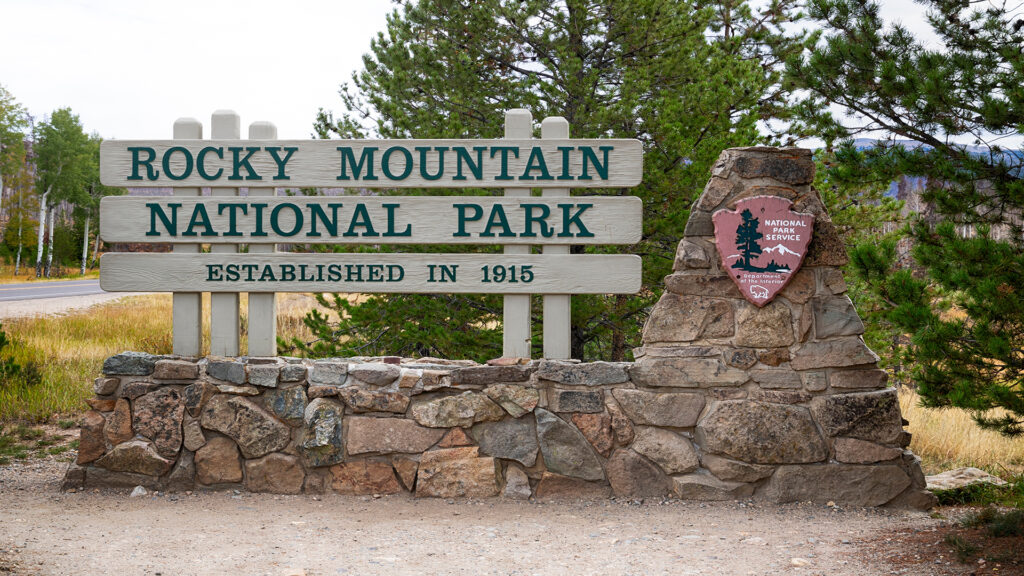
Ascend into the mountains and behold the blue jeweled lakes that reflect their glory. Heading northwest out of Denver, there is a road that leads to the mountains— U.S. Route 36 West. An hour-and-a-half drive brings you through Estes Park to the national park’s eastern gate at the Beaver Meadows Visitor Center. Already, you’re on a 48-mile stretch of US-34 known as Trail Ridge Road—the highest highway in the U.S. of A. Just shy of 20 miles up the road, you’ll reach the paved 12,183-foot summit of America with views equal to your imagination. As you drive, you’ll see more than geology on a grand scale.

There’s an incredible diversity of ecology in the park—from forests of spruce and fir to tundra and wilderness where the majestic and muscular forms of bighorn sheep, moose, elk, and mule deer roam. True, you can see plenty from the cab, but you’ll also want to take in the mountain air on foot.

“Where Should We Camp Next? has over 300 campground reviews both inside and outside of the parks! What national park do you want to visit next?”

